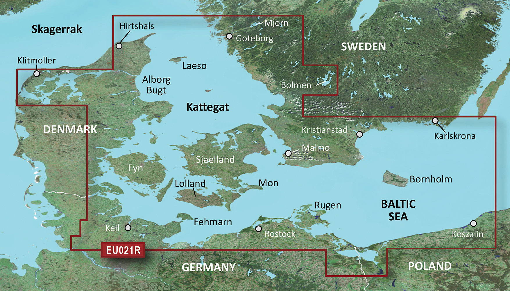
Garmin nautical charts
Garmin Nautical Charts – Precision for Coastal and Inland Waters
Garmin nautical charts, such as BlueChart g3 and g3 Vision, combine the best cartographic data from Garmin and Navionics. They offer detailed map views, innovative features like Auto Guidance, and realistic 3D representations.
Features and Benefits
The BlueChart g3 charts are ideal for coastal and inland waters. With features like 2D and 3D views, tide information, and detailed harbor plans, they make navigation significantly easier. Regular updates ensure that the charts remain up to date.
Why Choose Garmin Nautical Charts?
Whether on the open sea or in inland waters, Garmin nautical charts provide precise data and are perfectly optimized for Garmin navigation devices. Discover a new level of navigation with charts that make your journeys safer and easier.